Unleash the power of
maps
& satellite data
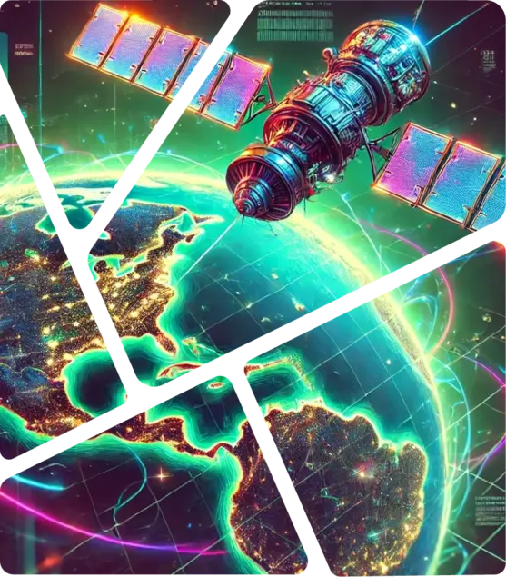
Powering decision making intelligence for business, government, and society using open-source GIS solutions.
Trusted by businesses
around the world
WHAT WE DO
Why are we in business?
Empowering decisions through innovative geographic insights and precision mapping solutions backed by data and Ai.
Know more about us

01
Remote sensing solutions
Earth observation
data to rescue
Earth observation data allows us to help you out in use cases such as climate change, urban devellopment as well as decision making.
We use Machine Learning and Artificial intelligence to make most out of the Earth observation data to get you the accurate results.
02
GEOSPATIAL
Local
Intelligence
Every location holds a story. Rotten Grapes helps you discover that story with geospatial technology.
We turn raw location data into valuable insights that empower your businesses and organizations to make informed decisions.


OUR USP
Why we can be the perfect helping hand in your story?

Simplified
Solutions
We focus more on business than technology which means every decision we take in building your tool is only aiming towards improving your returns on investment.

Open
Source first
We not only use open source tools for our projects but also contribute to lot of them, which makes us experts for using and maintaining tools.

Always
Evolving
At Rotten Grapes we spend heavily on research and development. Thus our experts can help you in 2D, 3D, Point cloud Ai, ML, etc use cases.
OUR SOLUTIONS
Transforming Geospatial
Possibilities with our solutions
Empowering industries with cutting-edge geospatial technology, data-driven insights, and tailored solutions to drive smarter decisions.

Get inspired.
This is what our
trusted clients say.


