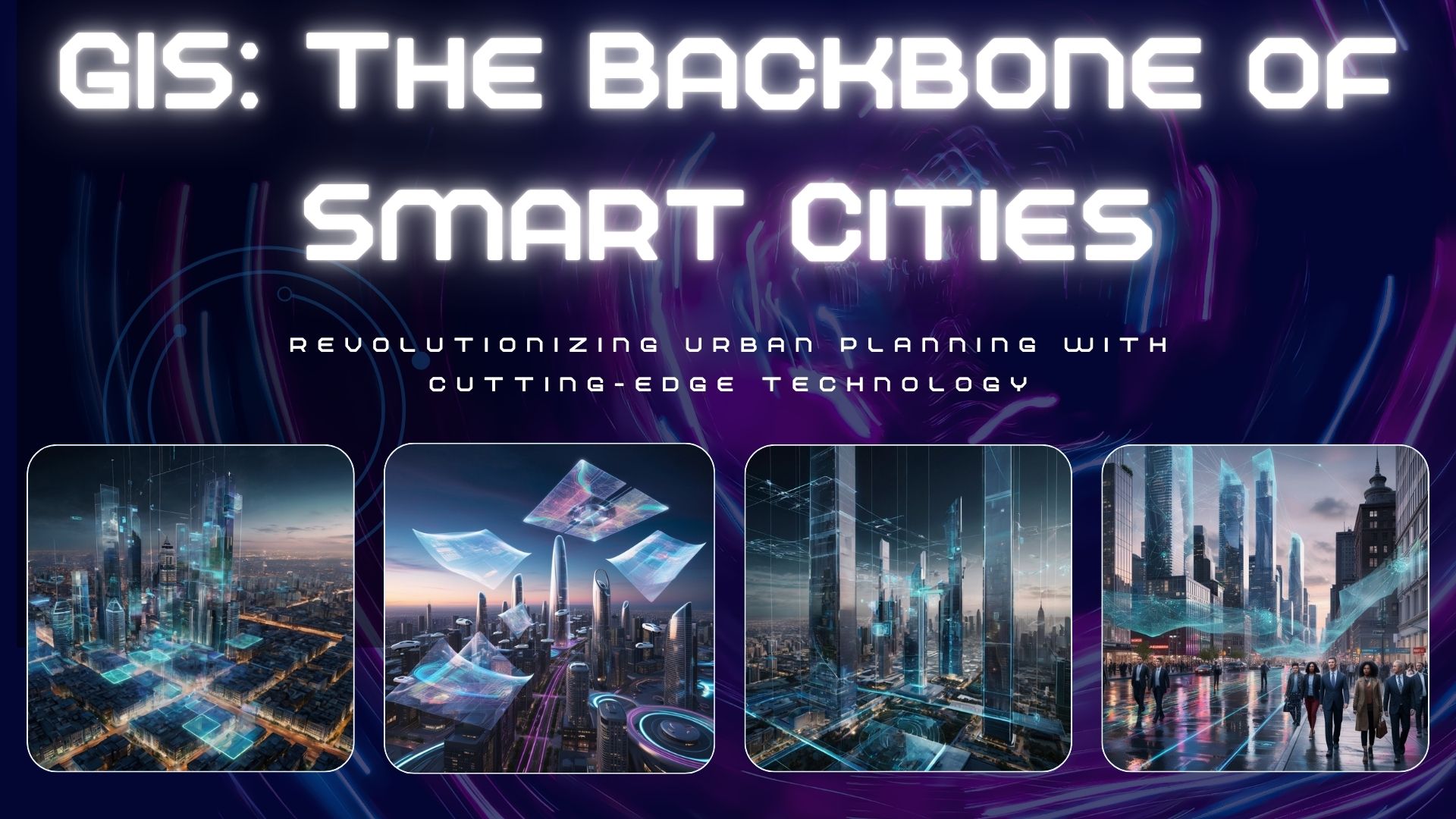
How GIS is Revolutionizing Urban Planning and Smart Cities
Posted on October 21, 2024
3 minutes
Ever wondered how our cities are getting smarter by the day? Buckle up, because we're about to take a thrilling ride through the world of urban planning, powered by the magic of GIS!
3D GIS: Bringing Cities to Life
Gone are the days of flat, boring city maps. 3D GIS is here to shake things up!
- Virtual Reality City Tours: Imagine walking through proposed city developments before a single brick is laid. Mind-blowing, right?
- Shadow Analysis: No more unexpected shade on your rooftop garden. 3D GIS has got you covered (or not, if that's what you prefer)!
- Skyline Planning: Because who doesn't want their city to look Instagram-worthy from every angle?
Satellite Data: Eyes in the Sky
Who needs a crystal ball when you have satellites? Here's how they're helping:
- Land Use Monitoring: Catching sneaky land use changes faster than you can say "zoning violation"
- Urban Heat Island Detection: Identifying hot spots in the city (and we don't mean the trendy cafes)
- Green Space Planning: Because every city needs its dose of greenery to stay sane
Machine Learning: The City's Brain
AI isn't just for beating humans at chess. It's making our cities smarter too!
- Traffic Pattern Prediction: Say goodbye to spending half your life stuck in traffic
- Urban Growth Modeling: Predicting city expansion with scary accuracy (real estate investors, take note!)
- Infrastructure Maintenance: Fixing potholes before they become car-eating monsters
OGC: The Unsung Hero of Standardization
Now, let's give a shoutout to the Open Geospatial Consortium (OGC) and its open standards. These are the behind-the-scenes superstars making sure all our fancy GIS tools play nice together.
- CityGML: The common language for 3D city models. It's like Esperanto, but for buildings!
- SensorThings API: Helping smart city sensors gossip about us... err, I mean, share valuable data
- IndoorGML: Because getting lost in shopping malls is so last century
The Future is Here (Almost)
With 3D GIS, satellite data, machine learning, and OGC standards working together, our cities are on the fast track to becoming smarter, more efficient, and dare I say, cooler!
But hey, why just read about it when you can be part of the revolution?
Ready to dive into the world of GIS and smart city planning? Don't let the future leave you behind!
🚀 Schedule a call with our GIS wizards and discover how we can help transform your urban planning projects from meh to marvelous!
Remember, in the world of smart cities, the early bird gets the worm... and probably a better parking spot too!


