


Back to blog list
Introduction to Leaflet.js
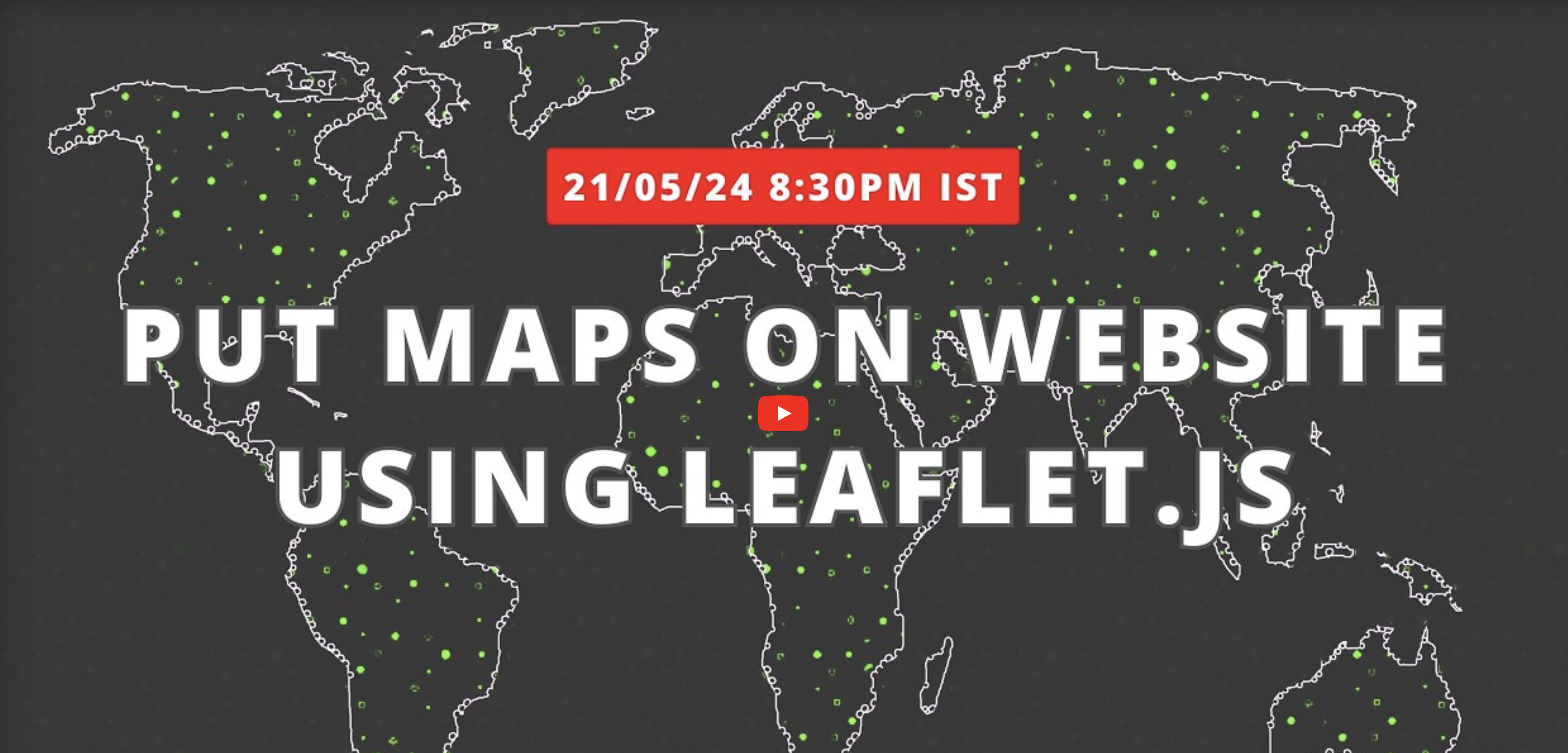
Posted on May 21, 2024
2 minutes
One of the proven ways to increase user engagement time on a website is by adding interactive maps where users can visualize data. This data can include the location of offices, warehouses, people, or even geometrical data such as coverage areas, lines of travel, etc.
Oftentimes, non-GIS developers think that the only way to do this is by using the Google Maps API on their website and paying for a subscription.
In this webinar, we'll show you an open-source way to achieve this.
Key Highlights:
- Introduction to Leaflet.js: An open-source JavaScript library designed for mobile-friendly interactive maps.
- Boost User Engagement: Learn how adding maps can increase website surfing time and improve user interaction.
- Cost-Effective Solutions: Discover how Leaflet.js offers a free alternative to Google Maps, helping you avoid costly subscriptions.
- Data Visualization: See how to effectively display various types of data, including office locations, warehouse positions, and polygon datasets.
- Setup and Basics: Understand how to set up Leaflet.js and leverage its core features and functionalities.
- Customization Tips: Explore customization options to tailor maps to your specific needs and enhance user experience.
- Hands-on Demo: Watch a live coding demonstration showing the implementation of Leaflet.js on a sample website.

