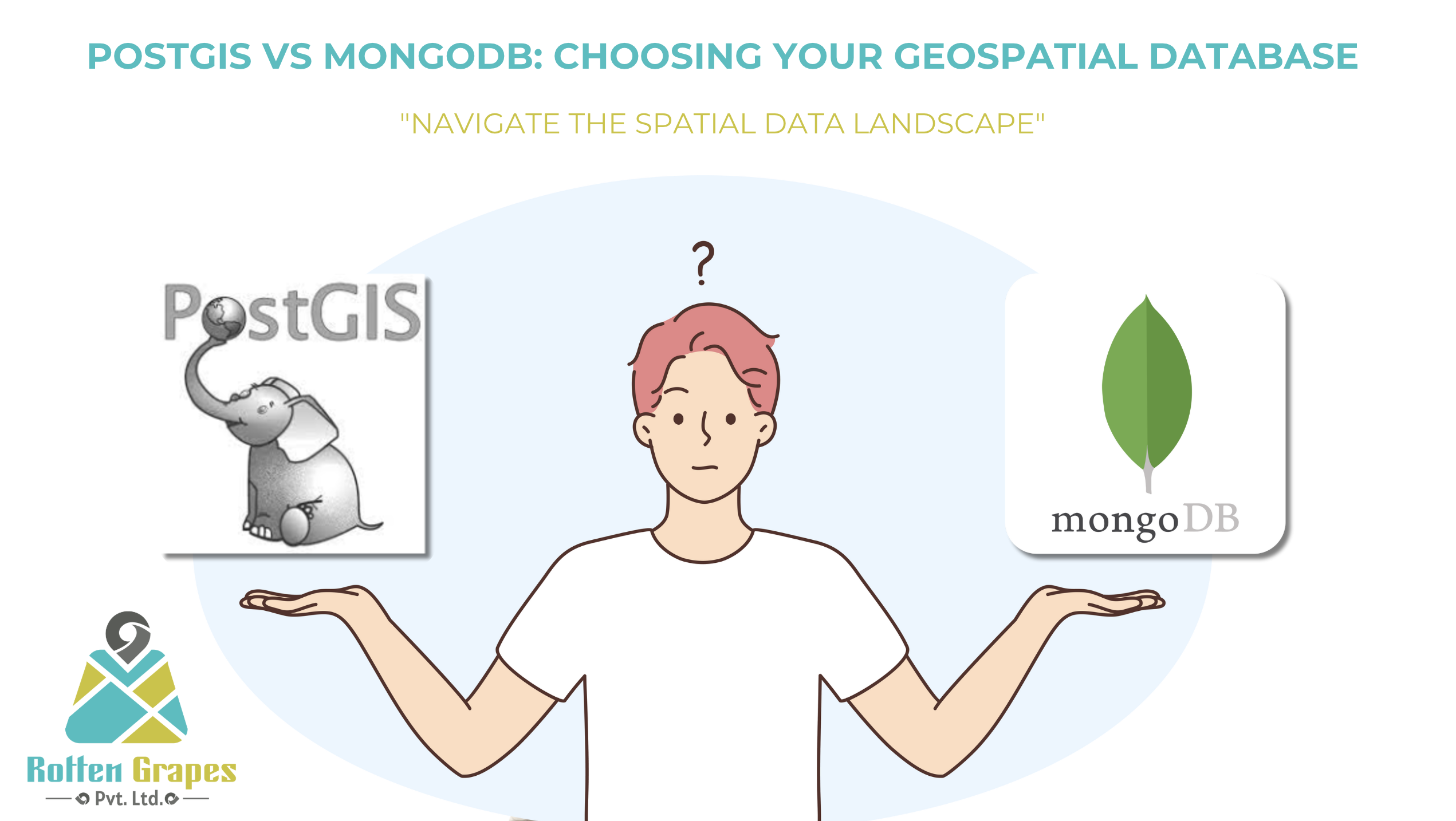
Selecting the Correct Database for Your Next Geospatial Project: PostGIS vs MongoDB
Posted on November 27, 2024
4 minutes
Hey there, data enthusiasts and spatial wizards! 🗺️💾 Are you scratching your head over which database to choose for your next geospatial project? Well, you're in luck! Today, we're diving deep into the world of spatial databases, specifically comparing two heavy hitters: PostGIS and MongoDB. Buckle up, because this ride is about to get... spatial!
The Contenders
In the relational corner, we have PostGIS: the spatial extension for PostgreSQL. And in the NoSQL corner, MongoDB: the flexible document store with geospatial superpowers. Let's break down their pros and cons to help you make an informed decision.
PostGIS: The Geospatial Powerhouse
Pros 👍
- Robust Spatial Functionality: PostGIS offers a wide array of spatial functions and data types.
- SQL Power: Leverage the full power of SQL for complex queries and joins.
- ACID Compliance: Ensures data integrity in multi-step transactions.
- Mature Ecosystem: Well-established, with plenty of tools and extensions.
- OGC Standards: Complies with Open Geospatial Consortium standards.
Cons 👎
- Steep Learning Curve: SQL and spatial concepts can be challenging for newcomers.
- Scalability Challenges: Horizontal scaling can be complex.
- Schema Rigidity: Less flexible for rapidly changing data structures.
MongoDB: The Flexible Frontier
Pros 👍
- Schema Flexibility: Perfect for projects with evolving data structures.
- Scalability: Built for horizontal scaling across multiple servers.
- Speed: Fast for read-heavy workloads and real-time data.
- Native Geospatial Support: Built-in support for geospatial indexing and queries.
- JSON-like Documents: Familiar format for many developers.
Cons 👎
- Limited Spatial Functions: Fewer built-in spatial analysis tools compared to PostGIS.
- Eventual Consistency: May not be suitable for applications requiring immediate consistency.
- Large Data Sets: Can be memory-intensive for very large datasets.
- Complex Joins: Multi-document transactions are possible but can be tricky.
Making the Choice: It's Not Just About the Tech
Choosing between PostGIS and MongoDB isn't just about comparing feature lists. Consider:
- Your Team's Expertise: Are they SQL whizzes or NoSQL ninjas?
- Project Requirements: Need complex spatial analysis or flexible document storage?
- Scale and Performance: How much data are you dealing with, and what's your read/write ratio?
- Future Growth: Will your data structure evolve rapidly?
- Integration: What other systems will your database need to play nice with?
PostGIS: Ideal For...
- Complex spatial analysis and GIS applications
- Projects requiring strict data integrity and ACID compliance
- Integration with traditional GIS software
- When you need to leverage SQL's power for spatial data
MongoDB: Ideal For...
- Real-time location-based applications
- Projects with rapidly evolving data structures
- When you need horizontal scalability out of the box
- Applications with high read loads and flexible consistency requirements
The Plot Twist: Why Not Both?
Remember, it's not always an either/or situation. Some projects benefit from using both:
- Use PostGIS for complex spatial analysis and data integrity
- Use MongoDB for real-time, flexible data storage and retrieval
The Bottom Line
Whether you choose PostGIS, MongoDB, or a combination of both, the key is understanding your project's unique needs and leveraging each database's strengths.
But here's the secret sauce: The database is just the beginning. The real magic happens in how you query and optimize your data.
🚀 Ready to Supercharge Your Geospatial Database?
No matter which database you choose, we've got your back! At Rotten Grapes, we're experts at optimizing geospatial queries for both PostGIS and MongoDB.
We can help you:
- Fine-tune your spatial indexes
- Optimize complex geospatial queries
- Implement caching strategies for lightning-fast responses
- Design efficient data models for your specific use case
Don't let suboptimal queries slow you down. Let's make your geospatial data sing!
Contact us today to discuss how we can turbocharge your geospatial database performance!
Remember, in the world of geospatial data, it's not just about choosing the right database—it's about making that database work hard for you. And that's where we come in! 😉
P.S. No databases were harmed in the making of this blog post. We love all databases equally... but some are more spatially equal than others! 🗺️💖


