Oilspill Detection using Sentinel-1 Imagery
Posted on April 30, 2026
3 min read
By Shreyas Ingale
GIS
Automated Oil Spill Detection Using Sentinel-1 SAR Imagery
Environmental monitoring has evolved significantly with satellite remote sensing and geospatial analytics. One of the most critical applications is the detection of oil spills in marine environments—an essential capability for protecting ecosystems, fisheries, and coastal economies.
Rather than focusing on a specific implementation or script, this article explains the core concepts, methods, and practical approaches used to detect oil spills using satellite data.
The Challenge of Oil Spill Detection
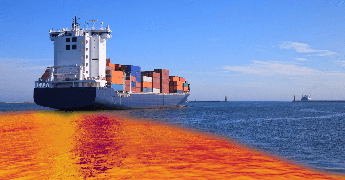
Oil spills pose severe threats to marine ecosystems and coastal regions. Detecting them is challenging due to the vastness of oceans, constantly changing environmental conditions, and the need for timely intervention.
Satellite-based approaches enable continuous, wide-area monitoring, making it possible to identify potential spills quickly and support rapid response efforts.
Why Synthetic Aperture Radar (SAR)?
SAR is one of the most effective technologies for oil spill detection because it does not depend on sunlight or clear skies. Instead, it actively emits microwave signals and measures how they reflect off the Earth's surface.
- All-weather capability: Works day and night, even through clouds
- Sensitivity to surface roughness: Oil smoothens water surfaces, reducing radar backscatter
- Wide coverage: Large ocean areas can be monitored efficiently
- Consistent observations: Enables repeated monitoring of the same region
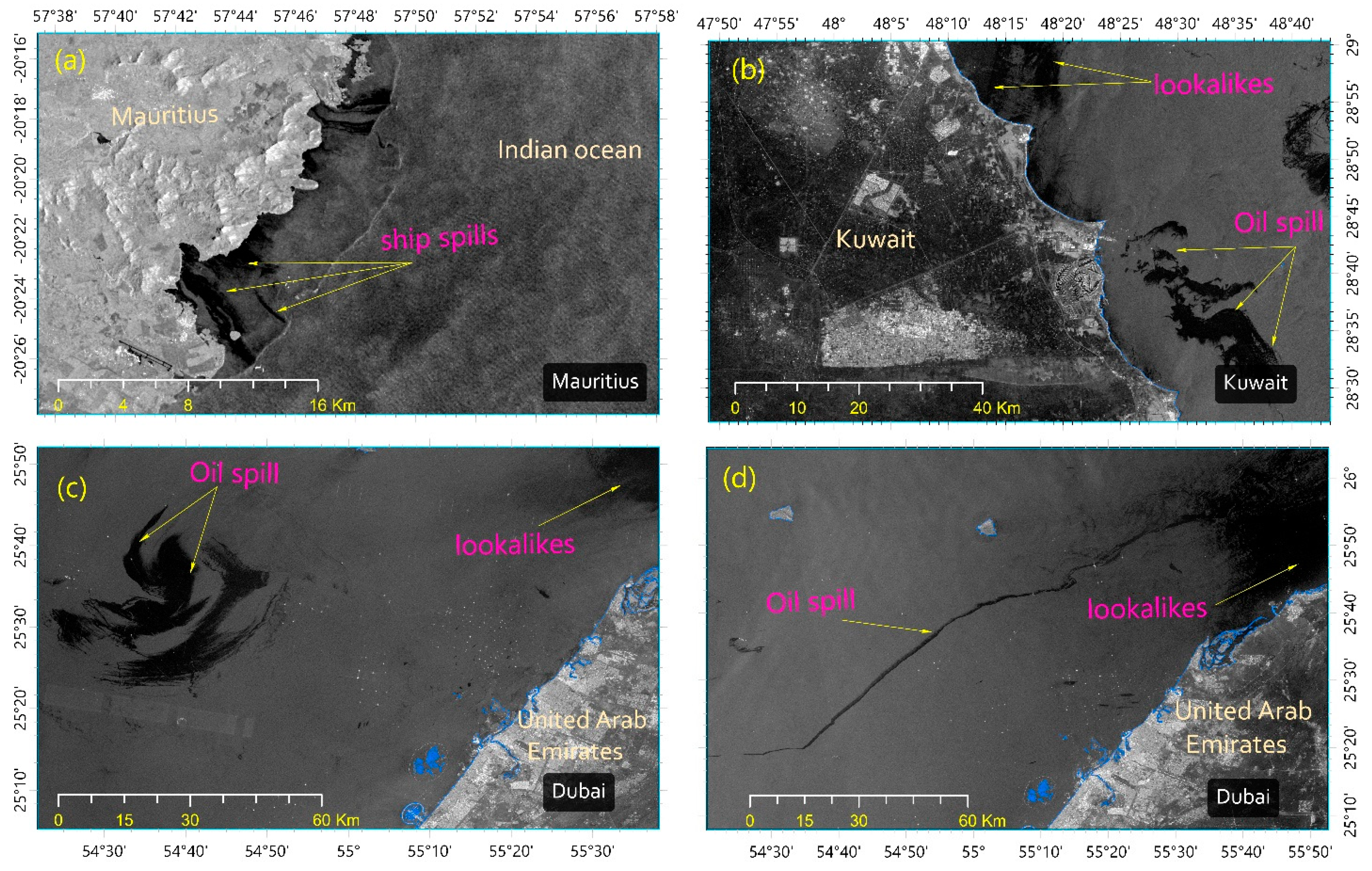
How Detection Works: Oil films dampen small surface waves, causing affected regions to appear as dark patches in SAR imagery. These anomalies form the basis of most detection techniques.

Key Concepts Behind Oil Spill Detection
1. Backscatter Analysis
SAR measures the intensity of radar signals reflected from the ocean surface. Rough water reflects more energy, while smooth surfaces (like oil-covered areas) reflect less, appearing darker.
2. Noise Reduction
SAR imagery contains speckle noise due to the nature of radar signals. Spatial filtering techniques are commonly used to smooth the image while preserving important features.
3. Dark Spot Detection
Potential oil spills are identified by detecting regions with significantly lower backscatter values compared to their surroundings. Adaptive thresholding techniques are often used to account for varying sea conditions.
4. Region Identification
Once dark areas are detected, they are grouped into continuous regions (or patches) representing potential spill zones.
5. Feature Refinement
Geometric and morphological operations help refine detected regions, removing noise and improving boundary accuracy.
6. Discrimination of Look-Alikes
Not all dark patches are oil spills. Natural phenomena such as low wind zones, rain cells, and biological films can produce similar signatures. Additional filtering, contextual data, or machine learning models are often used to distinguish real spills from false positives.
From Detection to Usable Insights
Once potential oil spill regions are identified, they can be converted into geospatial formats such as polygons. This enables:
- Area estimation of affected regions
- Integration with GIS platforms
- Overlay with shipping routes and offshore infrastructure
- Tracking spill movement over time
Real-World Applications
- Environmental monitoring: Early detection of spills to minimize ecological damage
- Regulatory enforcement: Identifying illegal discharges from ships
- Disaster response: Supporting cleanup operations with accurate spatial data
- Marine research: Studying ocean surface dynamics and pollution patterns
Limitations and Considerations
- Look-alike phenomena: Natural features can mimic oil signatures
- Thin oil layers: May not be detectable if they do not sufficiently alter surface roughness
- Wind conditions: High winds can obscure oil signatures
- Temporal gaps: Satellite revisit times may miss rapid changes
Conclusion
Oil spill detection using SAR imagery is a powerful example of how satellite data can be transformed into actionable environmental intelligence. By focusing on physical principles, signal analysis, and geospatial techniques, robust detection systems can be developed that go far beyond any single implementation.
As satellite data becomes increasingly accessible, these methods will continue to play a critical role in safeguarding marine environments worldwide.

