UPCOMING WEBINAR
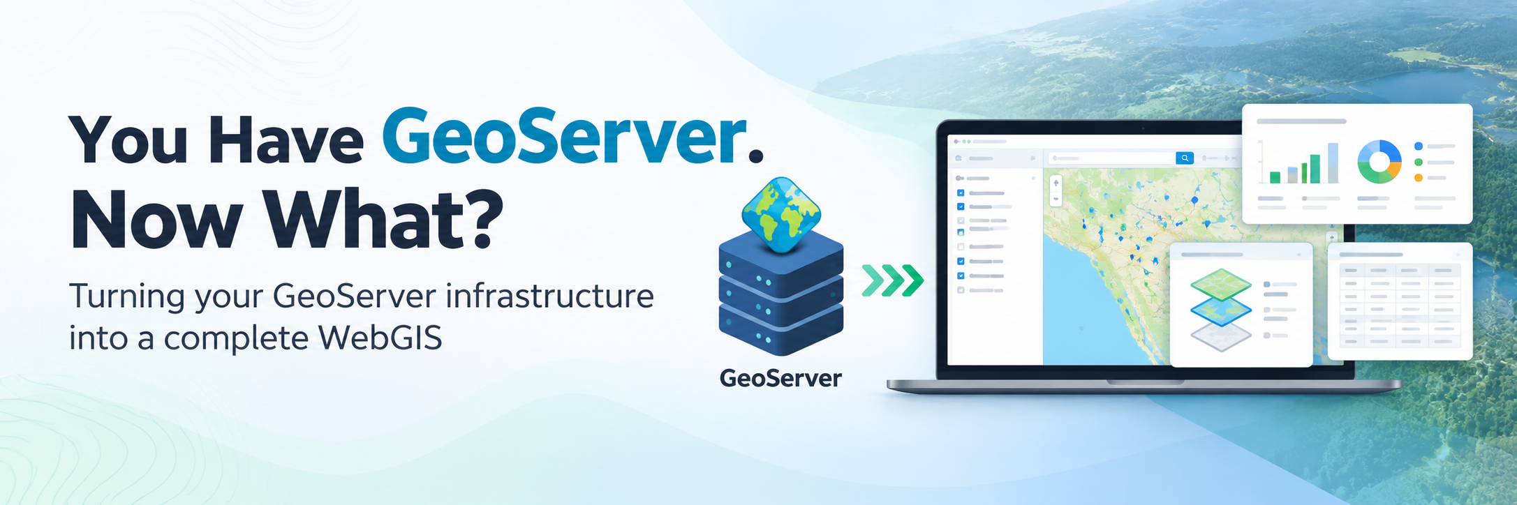
You Have GeoServer. Now What?
You’ve published your spatial data through GeoServer. Your layers are available through WMS, WFS and other OGC services.
But then comes the harder question:
How do you turn those published layers into a proper WebGIS application?
Maps. Dashboards. Layer catalogues. Search. Filters. Queries. Charts. User access. Applications.
Do you build everything from scratch? Use an existing framework? Ask your development team to maintain another application?
In this webinar, we’ll look at what happens after GeoServer and how organizations can turn their existing GeoServer infrastructure into a complete, user-friendly WebGIS without rebuilding their GIS backend.
What we'll cover
- What GeoServer provides — and what it doesn't
- The gap between publishing GIS data and building a usable WebGIS
- Different approaches to building a WebGIS on top of GeoServer
- Creating interactive maps directly from GeoServer layers
- Building dashboards and data-driven visualizations
- Layer discovery, search, filtering and querying
- Managing users and access
- Deploying a WebGIS inside your own infrastructure
- How much of a typical WebGIS needs to be custom-developed
- A live demonstration of turning an existing GeoServer into a complete WebGIS
We’ll also discuss the real-world challenges organizations face when maintaining custom WebGIS applications and where a ready-to-deploy application layer can reduce development effort.
This webinar is especially relevant for:
- GIS managers and developers
- Organizations already using GeoServer
- Government GIS teams
- GIS consultants and system integrators
- IT teams managing spatial infrastructure
- Organizations planning a new GeoServer-based GIS portal
Bring your GeoServer questions—and, more importantly, your experience with what happens after the layers are published.